
Union Pacific freight train crossing the junction of Lake
Ellsworth and Chandler Creek.
On leaving the Wichita Wildlife
Refuge, we proceeded east on Rt. 49 to I-44, north of Lawton. We traveled I-44 just one exit before jumping
off onto Rt. 281/62 north for Lake Ellsworth. The map shows Lakeside Village, but it’s not
easy to find. It will be the first turn
to the right when headed north after passing the commercial intersection of
Rts. 62 and 277. At this intersection is
the Valero truck stop, and the only place around to find WiFi. As you turn onto NE Pine Ave, you may spot a
small sign for Ralph’s Resort (580-492-4763). The ramp is there at L34.79975N
Lo98.37323.
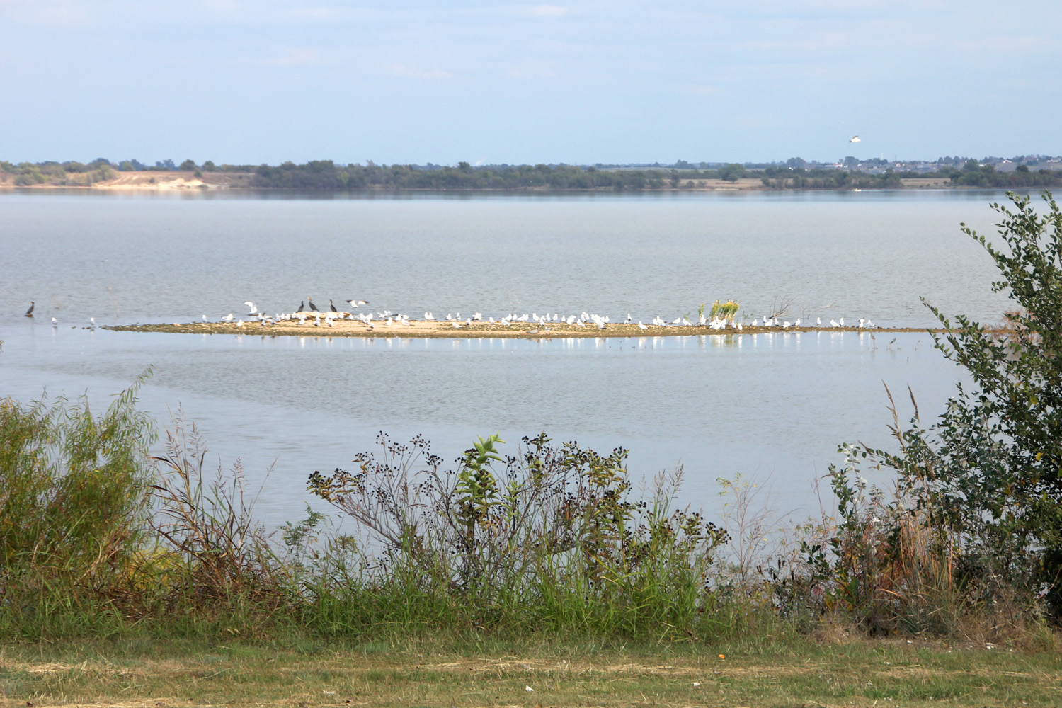
Just below our campsite was a sandbar that made a gathering
place for birds and waterfowl.
After leaving Quanah Parker, Lake
Ellsworth, with its 53 mile shoreline, is huge by comparison. It was created in 1962 by the damming of East
Cache Creek, its main tributary, but two secondary branches making
contributions to the lake are Chandler Creek from the west and Tony Creek from
the east. Ellsworth and Lake Latonka,
which we wrote about earlier, are the water sources for the City of Lawton and
the Fort Sill military base. It you
cross the railroad tracks to the east from Ralph’s, the campground is a short
distance on the left. For launching a canoe
or kayak, there is a nice beach to launch from there rather than going back to
Ralph’s.

The gates of the Lake Ellsworth dam.
There is a sand bar on the east side
of the campground where ducks, birds, and pelicans congregate. When I arose our first morning hoping to hit
the water, it was so foggy we couldn’t see the sandbar or out onto the lake. My handheld VHF radio had decided to stay
home, so having no way to get weather, we just had to wait and watch. The area has no WiFi, so even my ‘smart’
phone was dumb on the subject of weather.
We drove down to the Valero truckstop, where I was able to downloaded a
weather app on my new phone. Guess what
we learned. We were under a dense fog
advisory. Tadaaa!
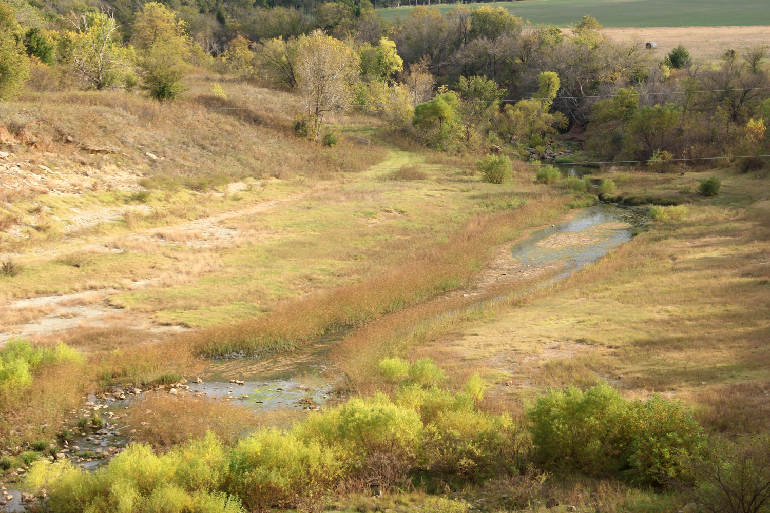
East Cache Creek continues 40-feet below the dam.
Unless there are city vehicles going
into the maintenance yard across from the campground, nothing stirs unless a
train comes through. It is dead quiet
and serene. Except for one evening, we
had the campground to ourselves. We sat
during the evening and watched killdeer, a rabbit with a couple young, several
woodpeckers, pelicans, cormorants, bluejays, osprey, cardinals, and a small
flock of 6 or 8 bluebirds. When Treasure
Island, which sits in the middle of the south end of the lake 8/10th
of a mile offshore, began to peak through the fog at 1115, I rolled Ibi down to
the water.
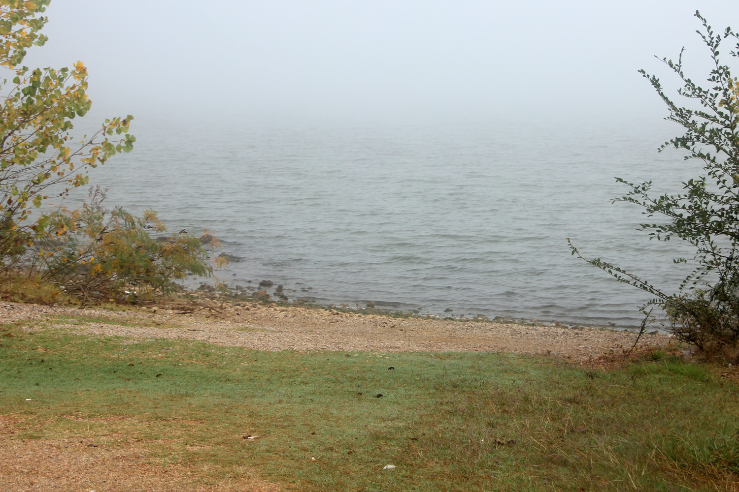
The first day of paddling had to wait for the fog to burn off.
Ralph’s Resort is in the SW corner of
the lake. The marina is just inside the low
railroad trestle the crosses by the ramp and blocks the mouth of Chandler
Creek. It does a nice job of blocking
lake access to any boats much larger than a bass boat. I paddled east past the dam and into the
Hassenbach Arm. There were a number of
coves and branches off the Arm to explore, and where I encountered a large
number of egrets, herons, cormorants, and osprey. They were the only ones out fishing this
area, as over the course of 4 ½ hours, I only saw three boats, so this is a
very paddle-friendly lake.
No comments:
Post a Comment