
Doe, a deer, a female deer, ray, a drop of golden sun.....
Like
our stay at Lake Latonka, the forecast was for winds of less than 10 mph. In the middle of the night, however, we again
were struck with strong wind gusts that peppered the side of the RV with dirt,
leaves, and debris. By morning, the
winds had died to 25 mph with 29 mph gusts according to updated reports. Large whitecaps were rolling the full length
of the lake. It was obvious that
paddling was off for the day, but we had a nice surprise during breakfast.

Right on time, morning and evening, like they could tell time.
We were parked next to a
ravine. Five deer came up the ravine to
graze in the grass around our camper.
With the heavily tinted windows, they couldn’t see us, so they walked
right up to within 25 feet of the RV and munched grass while we munched
breakfast and watched them. We were just
about done eating when another 15 deer came through the campground. We knew the wildlife were protected here, but
the mystery of why so many deer congregated around us wasn’t solved until we
saw the camp host come out with a bucket of corn, which he poured on the
ground. Since there was no hunting
permitted, this was not baiting, but it certainly drew a crowd. The camp host did this twice a day, morning
and evening, and the deer knew exactly when to show up.
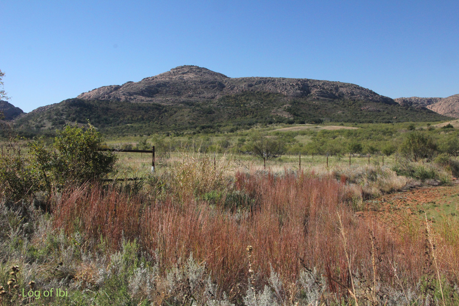
Mount Teepee, near Comanche Village
While on paddling trips, we enjoy
learning about the history of the area our paddling takes us through. With paddling being impossible for today, we
climbed into the pickup and went exploring.
We drove east from the state park to Mount Teepee, an area referenced in
historical writings, and the nearby Comanche Village on the north branch of the
Red River. The Mount Teepee Baptist
Church was in use until 1963, but is now gone.
Several one-room schools served the area and village, built as part of
the Medicine Lodge Treaty of 1867, but all of them are gone except the remains
of Mount Teepee School, which was last used in 1953. The owner of the land had been asked by the
state’s historical society to allow them to use the ½-acre that the school sits
on, so they could save the structure and preserve it. The owner couldn’t spare the ½-acre of weeds
and debris, and a bad wind storm recently removed the roof and allowed the
walls to collapse, making it a total loss.

Mount Teepee School, the name still legible above the door, blackboards
still on the walls, the chimney for the coal stove on the back wall.
I don’t know who the owner of the
school property is now. It’s easy to
think they are being small and cheap in allowing important history to
disappear. In fact, that was my immediate
reaction. However, if the owner is
Native American, there’s another way to look at this. They may not feel all that grateful for the
schools from the Medicine Lodge Treaty, since they resented being forced to
have their children schooled in the ‘white man’s ways’. They may also quite reasonably feel the
schools were a poor trade, since the treaty also required the Kiowa and
Comanche to surrender 2,001,933 acres of tribal land to the U.S. government, in
addition to another 23,000 acres to accommodate the Fort Sill Military
Reservation. It’s hard to tell. At any rate, there are 58 archaeological
sites in the area that confirm that Native Americans resided in the area since
pre-historic times.
No comments:
Post a Comment